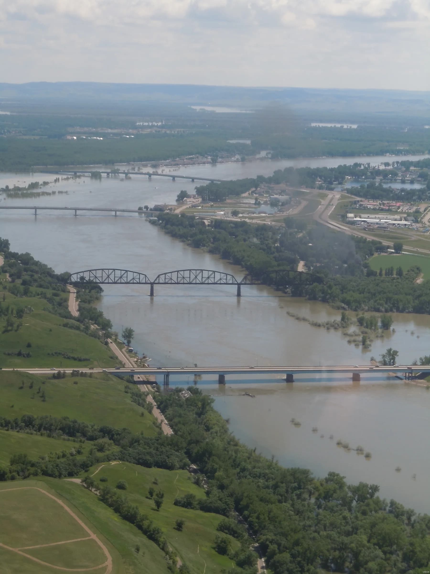
Missouri River, 2011 · Joel M. Galloway / USGS · Public domain. Context photograph, not a Dyzav project. Source
A photograph shows the surface. Evidence explains the work.
Roads, pavement layers and construction materials are assessed through defined methods, sampling and records. A useful digital system links a measured result to its lot, test procedure, specification and review history. It does not turn an isolated number into an approval.
For owners, contractors, materials laboratories and asset managers, the problem is often the connection between records. A missing test or a result detached from its location makes a later decision harder to defend.
An area of investigation. The explorers below are functional research concepts, not commercially available products.
Infrastructure Quality Explorer
Select a pavement lot. See what can be checked—and what cannot.
Research concept · Fictitious data. No live project, AI model or certification.
Within the example rules
Measurements, not assumptions.
DEMO-L01 · Synthetic test results
Measurement
Observed
Example minimum
Finding
Layer thickness
48 mm
45 mm
Within rule
Bulk density
2.36 g/cm³
2.3 g/cm³
Within rule
The 45 mm and 2.30 g/cm³ limits are fictitious teaching assumptions, not universal pavement specifications. Actual acceptance criteria depend on the contract, material, test method and jurisdiction.
Specification → Inspection → Test → Verification → Human review → Report
From physical assets to dependable records.
Construction & materials
Potential software workflows could connect laboratory results, pavement sampling, calibration records and corrective actions. Test methods and acceptance authority remain with the responsible organization and qualified professionals.
Maintenance & geospatial context
An asset identifier, inspection location and dated evidence can support maintenance planning. Sensor metadata, coordinate reference systems and field verification matter as much as the visualization.
Digital infrastructure
Reliable storage, access control, integration and recovery keep the evidence usable. Connectivity failures and version changes must be planned for; an attractive interface cannot replace them.
Support the professional. Do not impersonate one.
Dyzav is not claiming accredited civil testing, regulated engineering certification or a proprietary laboratory. These are software research directions. Real deployments require domain validation, appropriate licensing, contractual acceptance rules and authorized professional review.
Built on inspectable references.
These references inform the research direction. They are not partnerships, certifications or evidence of a released Dyzav product.
Dyzav develops its own technology products and builds software, platforms and systems for organizations and people. These research concepts illustrate an approach; the scope of any engagement must be established against the actual problem.